- Type: Hiking
- Start: Parkplatz Kaisertal, Ebbs-Eichelwang
- End: Parkplatz Kaisertal, Ebbs-Eichelwang
- Medium
- 4:00 h
- 742 m
- 9.7 km
Watch listDetails

Callback
Two day tour - Höhenweg Zahmer Kaiser - day 1
Two day tour - Höhenweg Zahmer Kaiser - day 2
2-day mountain tour Güttlersteig to Sonneck - day 1
2-day mountain tour Güttlersteig to Sonneck - day 2
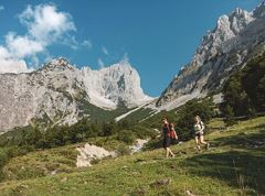
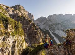
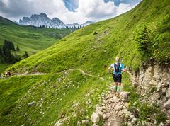
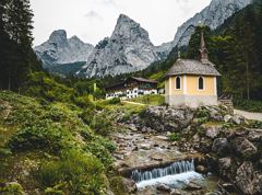
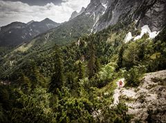
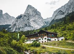
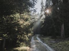
Hikers exploring Tirol on foot will feel as free as a bird. The eagle walk is one of the 'Great Walks' of Tyrol chosen by a jury. They offer hikers the chance to get away from it all, discover the beauty of nature and experience a true adventure in the Alps.

Cross borders, experience nature, feel history: the Grenzenlos hiking trail connects Bavaria and Tyrol in five varied stages. From Bad Endorf via Lake Chiemsee, through idyllic villages and mountain valleys to Kufstein, it leads through a landscape full of contrasts and shared culture. Sometimes Bavarian, sometimes Tyrolean – always crossing borders.
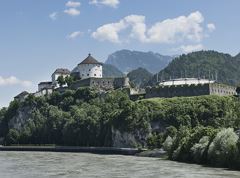
Hike to the Hochwacht Kufstein
A scenic trail to the Hochwacht Kufstein leads to a historic viewpoint with impressive views over the town and fortress.
Walking loop to the Zeller Berg
A atmospheric walk to the Zeller Berg combines nature, scenic views, and history.
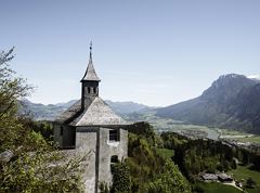
Circular trail from Kufstein to the Thierberg Chapel
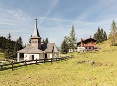
A scenic hike to the Thierberg Chapel leads through quiet forests and into the unique mystique of this historic place.
A lakeside walk with views of the Kaiser Mountains reflected in the water.
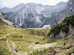
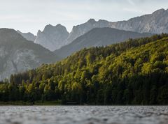
Eagle Walk Stage 02: Gaudeamushütte - Kaindlhütte
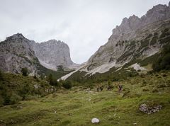
Is it about the journey or the destination? Well, one of the destinations of this stage is definitely the Hintersteiner See lake and its views. Surrounded by stunning mountain vistas, dwarf pine scrubland and beech forests, the lake is one of the cleanest and most beautiful mountain lakes in Tirol. The private pristine gem covers 56 hectares and measures 36 metres at its deepest point. With this picture-perfect backdrop, hikers will complete the remaining distance to the Kaindlhütte hut in no time.
Please wait
Information loading...